Experience the Southern Virginia Wild Blueway, where three rivers and two lakes span Halifax and Mecklenburg counties. This unparalleled paddling destination offers untouched landscapes, abundant wildlife, and easy access from major metro areas. Whether you seek a leisurely lake excursion or a challenging multi-day river adventure, the Blueway delivers.
In this series, written and reviewed by paddling enthusiasts, we’ll look at a different part of the Blueway with each post. Posts will break down the river and lakes into sections based on publicly accessible boat ramps, along with a description of the area, milage, time estimates, and wildlife you may encounter. The first waterway to be examined in the series is Staunton River.
The Staunton River
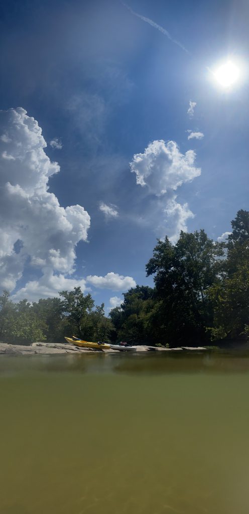
The Staunton River, an 81-mile segment of the Roanoke River in Southern Virginia, flows through Campbell, Pittsylvania, Halifax, and Charlotte Counties. Of that, more than 50 miles create the northern and eastern borders of Halifax County, before converging with the Dan River to form Buggs Island Lake. It offers a variety of recreational activities for nature enthusiasts, including bird watching, fishing, and hunting. Paddlers can tackle challenging whitewater rapids like Fish Trap and Cat Rock, while those seeking a more leisurely experience can enjoy the calm stretches of water downriver. The Staunton is also accessible by motorboat. The land along the river is privately owned, so users are advised to respect the landowners and obtain permission before camping or picnicking. This stretch of the river can be divided into 4 sections.
1. Long Island Boat Ramp to Brookneal Public Boat Ramp
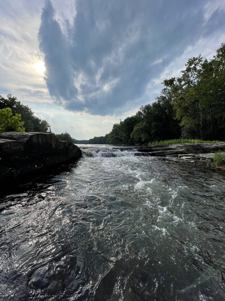
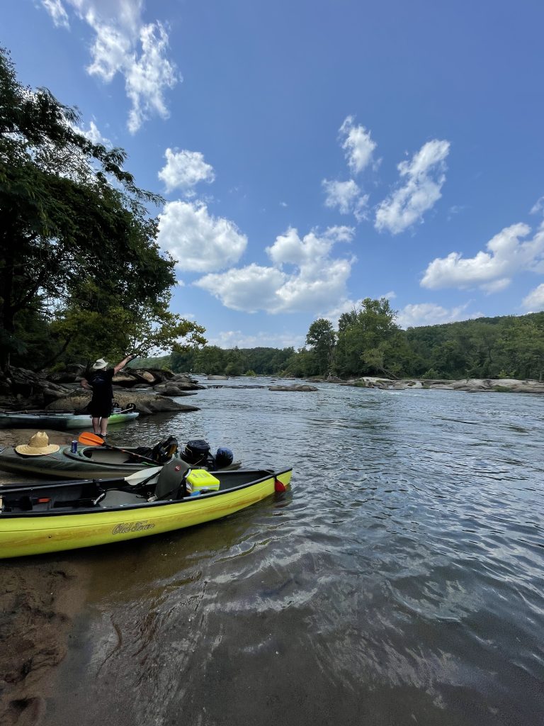
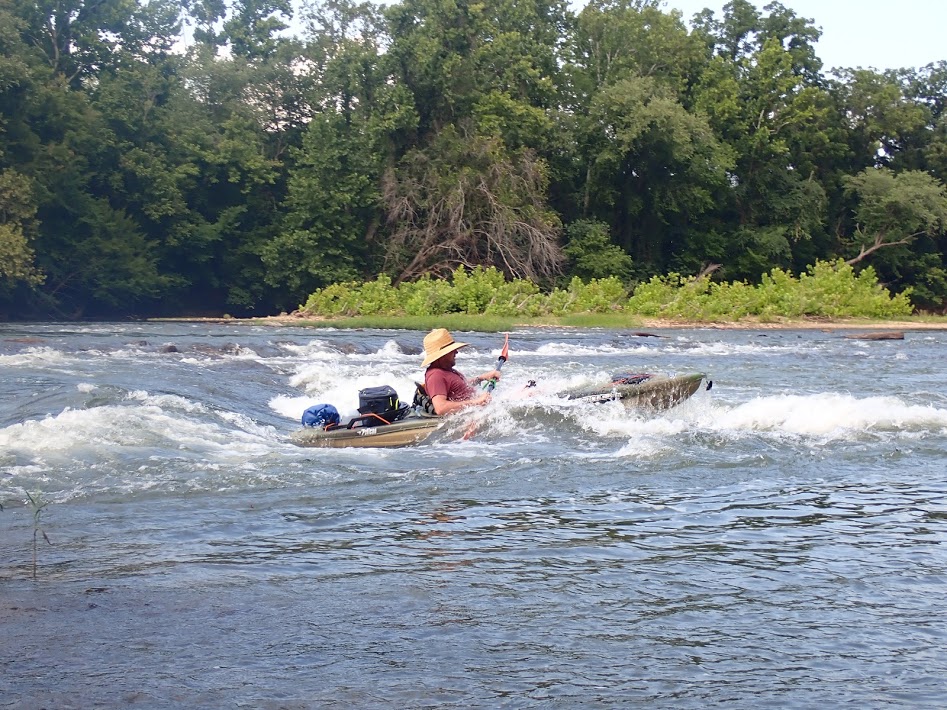
This section covers miles of designated scenic river, much of which creates the northern border of Halifax County. Sporting class II rapids at Cat Rock and class III at Fish Trap, this stretch is sure to delight skilled paddlers and thrill seekers. Several islands make for good resting stops along the way. Popular among locals, this section of the river is home to the annual Fun Float Day in June.
- Put In: Long Island Boat Ramp (Railroad Ave., Gladys, VA)
- Take Out: Brookneal Public Boat Ramp (Radio Road, Brookneal, VA)
- Distance: 11 miles
- Estimated Time: 5 – 8 hours
2. Brookneal Public Boat Ramp to Watkins Bridge
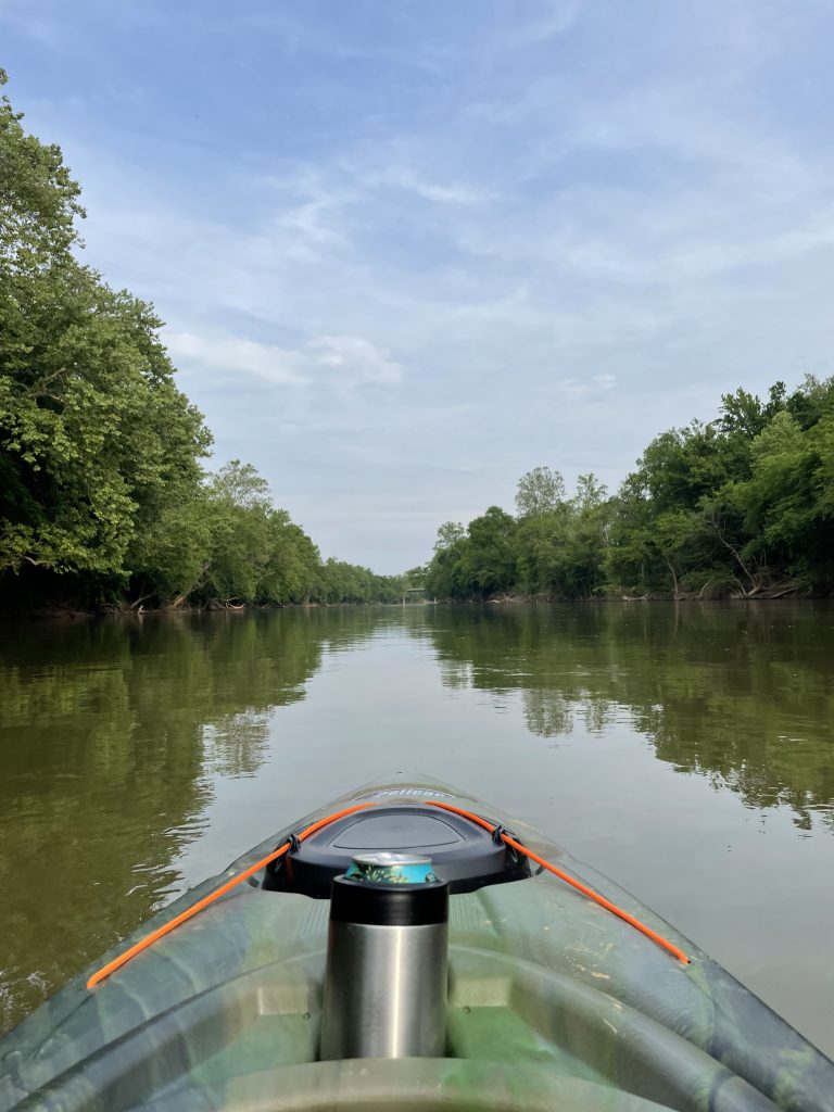
The stretch of the river is particularly long and slow moving. As such, it should be planned as an overnight trip. Just outside of Brookneal, the river passes land that once belonged to Patrick Henry. Further downriver, paddlers will see the remains of Clarkton Bridge. Sandbars could be a hazard to motorboat operators. If traveling this stretch of river, be sure to obtain permission from a landowner before camping on private property.
- Put In: Brookneal Public Boat Ramp (Radio Road, Brookneal, VA)
- Take Out: Watkins Bridge (9123 Mount Laurel Road, Clover, VA)
- Distance: 28.6 miles
- Estimated Time: 14 – 24 hours
3. Watkins Bridge to US 360
This segment of the river has a mellow current. It passes Staunton River Battlefield State Park and beneath the bridge that was the site of a battle in the Civil War. Various species of catfish can be found along this section of the Staunton.
- Put In: Watkins Bridge Ramp (9123 Mt Laurel Road, Clover, VA)
- Take Out: US 360 Boat Ramp (15074 James D. Hagood Hwy., Scottsburg, VA)
- Distance: 8.9 miles
- Estimated Time: 5 – 10 hours
4. US 360 to Staunton River State Park
The last section of the river is characterized by its slow, flat water. The final stretch, where the Staunton and Dan Rivers feed Buggs Island Lake will be still water; paddlers should be prepared to traverse up to 4.5 miles of unmoving water to reach Staunton River State Park’s ramp. Additionally, sandbars and shoals are potential hazards to motorboats, and the multiple channels may prove confusing. The numerous islands near the confluence are home to a variety of birds, including osprey, bald eagles, and waterfowl.
- Put In: US 360 Boat Ramp (15074 James D. Hagood Hwy., Scottsburg, VA)
- Take Out: Staunton River State Park (1170 Staunton Trail, Scottsburg, VA)
- Distance: 12.3 miles
- Estimated Time: 10 – 14 hours
Know before you go: Estimated times and distances provided by Virginia DWR. Virginia law requires wearable lifejackets for all passengers of a boat (both motorized and paddle craft). Lifejackets must be readily accessible if not worn. Federal law states children under the age of 13 must always wear a lifejacket while on the water; most rivers in Virginia are considered federal waters. As many stretches of the river are remote with limited cell phone service, be sure to check the weather forecast and prepare accordingly. Additionally, current water levels can be found here: waterdata.usgs.gov/nwis